En
Log in
All resources
Create a design
Tools
1,581 Free Images of Old West
historical
history
architecture
educational structures
england
united kingdom
italianate architecture
botany hills
landscape
new westminster
historical
history
forest
tree
landscape
hiking
1855 in new orleans
1855 drawings
new westminster
architecture
sidewalk
pavement
checkflickr2
sign
blue sky
traffic
furniture
body
animals
sheep
hotsprings
nature
reflection
river
building
travel
vehicle
history
checkflickr2
sign
tunnel
uk
landscape
rock
historical
history
landscape
rock
chiswick mall
old chiswick
symbol
travel
landscape
rock
das schöne gesicht von frankfurt am main.
medieval alte brücke (frankfurt am main)
shopping
retro
united states
white
contemporary architecture
city
architecture
england
old maps of rhineland-palatinate
nicolaus person
architecture
broken
machine
park
historical
history
maps of the firth of forth
old maps of fife
autumn
mill
celebrities
dance
landscape
mountain
autumn
mill
18th-century maps of central america
1760s maps of the caribbean
historical
history
landscape
blue
history
symbol
green
wood
old maps of ancient rome (city)
a pilgrimage to italy (1899)
architecture
facade
united states
monochrome
technology
retro
historical
history
architecture
spring
historical
history
people
city
maps in the rijksmuseum amsterdam
published by frans buffa & zonen
samuel hirszenberg
realism
history
travel
old maps of scotland from the norman b. leventhal map center
old maps of ireland from the norman b. leventhal map center
architecture
england
architecture
old house
architecture
wood
architecture
england
pavement
traffic
educational structures
checkflickr2
landscape
water
blue sky
blue
educational structures
checkflickr2
historical
history
historical
history
maps by emanuel bowen
1747 maps of africa
historical
history
building
history
monochrome
england
living room
home
architecture
old house
new westminster
shopping
educational structures
checkflickr2
educational structures
checkflickr2
educational structures
checkflickr2
educational structures
checkflickr2
educational structures
checkflickr2
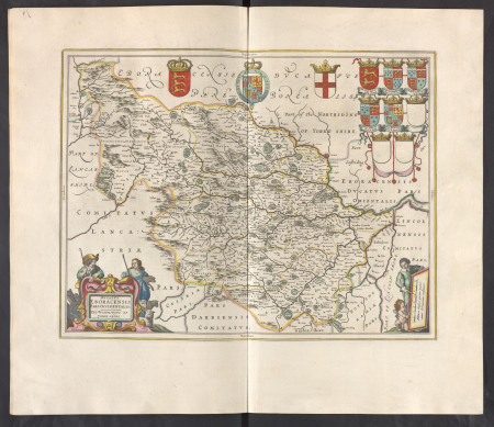
atlas maior, vol 5 (england) - joan blaeu, 1667 - bl 114.h(star).5
17th-century maps of yorkshire
architecture
shape
maps by thomas kitchin
1781 maps of europe
travel
usa
john rocque's 1746 map of london
history of london
building
body
landscape
building
old maps of the strait of gibraltar
hendrik de leth
kaiserproklamation im spiegelsaal von versailles am 18. januar 1871 by anton von werner
modern history; europe (1904)
architecture
england
vehicle
england
fraser river
quays
postcard
england
architecture
england
historical
history
old geological maps by jean-etienne guettard
jean étienne guettard
historical
history
historical
history
vehicle
car
duke university
architecture
architecture
checkflickr2
checkflickr2
town
stones
brick
maps in the rijksmuseum amsterdam
published by frans buffa & zonen
901 - 1000 of 1,581
Next page
/ 16